
As a bit of an introduction I guess I should talk about where this project photographing the Waimakariri river, or the Waimak as it’s called locally, came from. In 2017(?) the New Zealand government released a document with aims and targets for the quality of our rivers, controversially, it contained the idea that rivers should be wade-able. I’m not going to give you facts, figures, and references because that would require digging through massive ring binders of research accumulated over the last 1.5 years. I need more coffee before I start that… But the response from the New Zealand public was not positive. We did not want wade-able rivers, we did not want rivers that will make us sick, and we certainly did not want lousy standards that were so loosely defined that they allowed our rivers to continue to degrade and laid out no clear targets for improvement.
My close family are fairly heavily involved in the conservation of New Zealand’s unique flora and fauna, and as a kid I spent a lot of time hanging out in our national parks, so I have grown up with an environmental conscience. At age 22 I was also developing a political conscience and like so many others I was not pleased. With the benefit of prior knowledge on Earth’s geological and climatic processes I knew the government’s failure to introduce tough legislation would have dire consequences for decades to come, if not permanently.
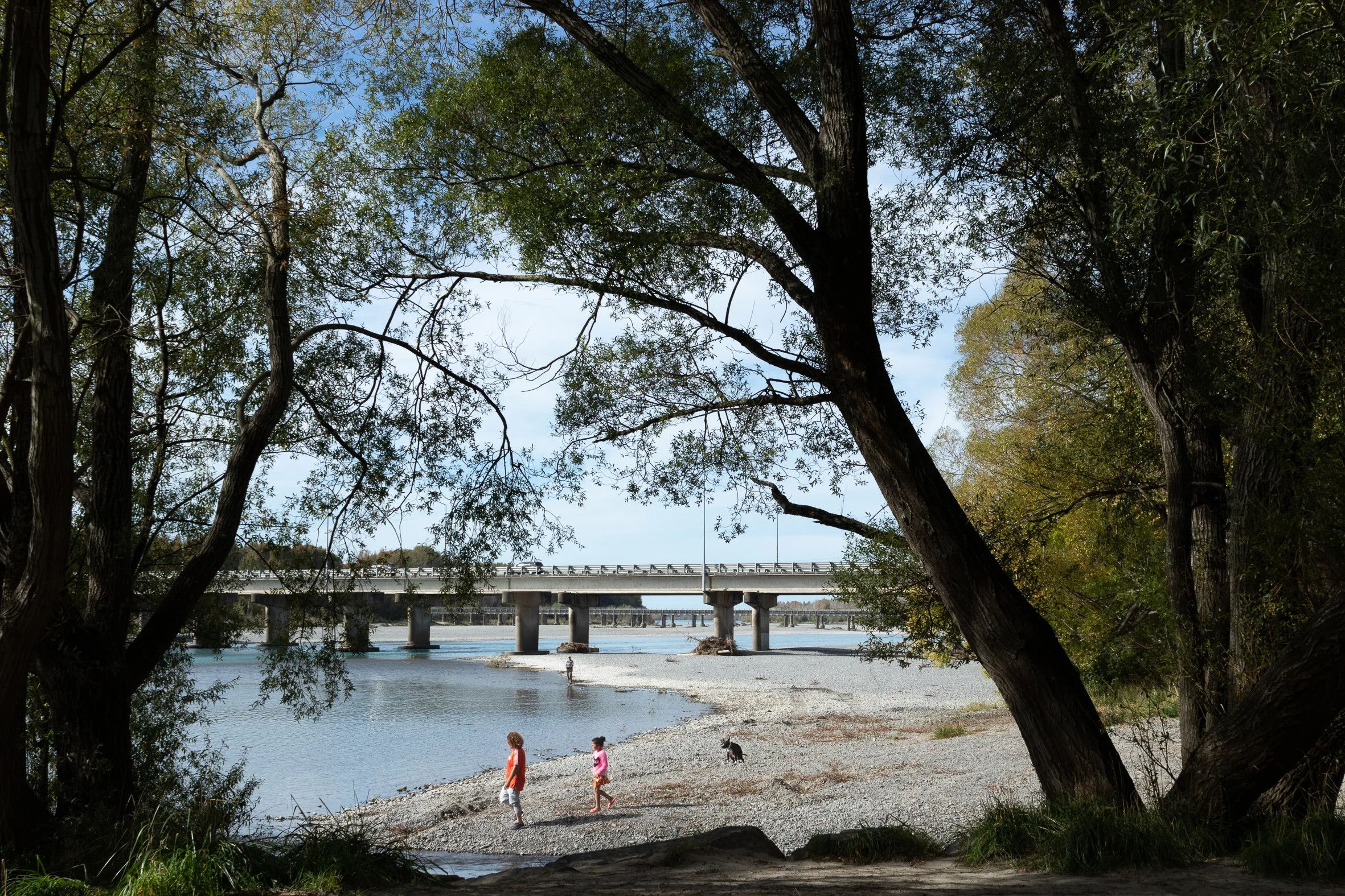
Over the last year while putting together From the Muddy Banks, the most common question I have been asked (aside from ‘What are you going to do after you finish your degree?’) is, ‘Why the Waimak?’ The final work is supposed to be synonymous with all rivers, starting a conversation about our relationship with the environment. However, there are reasons I chose the Waimak over other more iconic environmentally challenged rivers like the nearby Selwyn river for example. I spent most of my childhood on the west coast, with my extended family living in Christchurch and now being based here myself I have made so many trips over Arthurs Pass and down the Old West Coast Road I know it like the back of my hand. For much of the journey the Waimak runs alongside the road visible via sneaked glances between shelterbelts or in sweeping panoramas through the car windows. It’s through this association I felt most connected to the river, but I also felt it was an apt choice because of its history as an environmental force to be reckoned with that has been largely tamed through human interventions on the landscape.
A cross section of New Zealand’s Te Waipounamu, the West Coast Road is marked in orange and the Waimakariri River is marked in blue.
It is from this standpoint I began to make the work that was eventually compiled into From the Muddy Banks at the end of 2018. Heading into the academic year of 2019 I am planning to expand that work geographically into the headwaters, technically using panoramas and a wider range of cameras, and historically, with my proposed research looking at how photographic representations of New Zealand landscape have changed as our impact on the environment becomes ever more evident.
I thought I would finish this up with a picture of the current situation on my studio wall, hopefully, without me having to say too much this gives a bit of an idea of what is to come. Panoramas, panoramas, and more panoramas if my last shoot is anything to go by.
